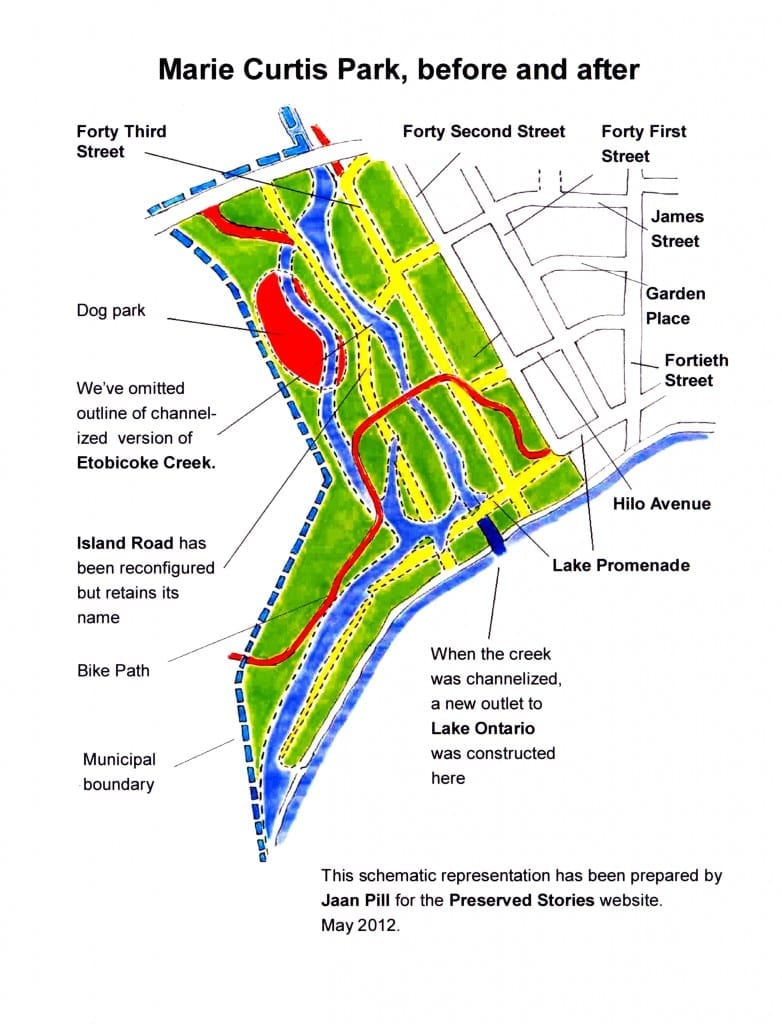
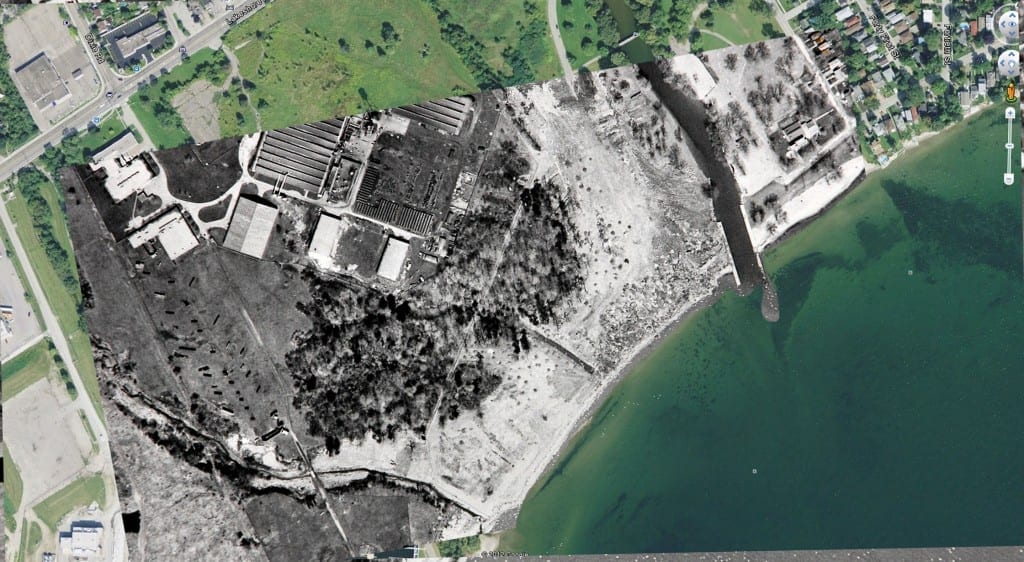
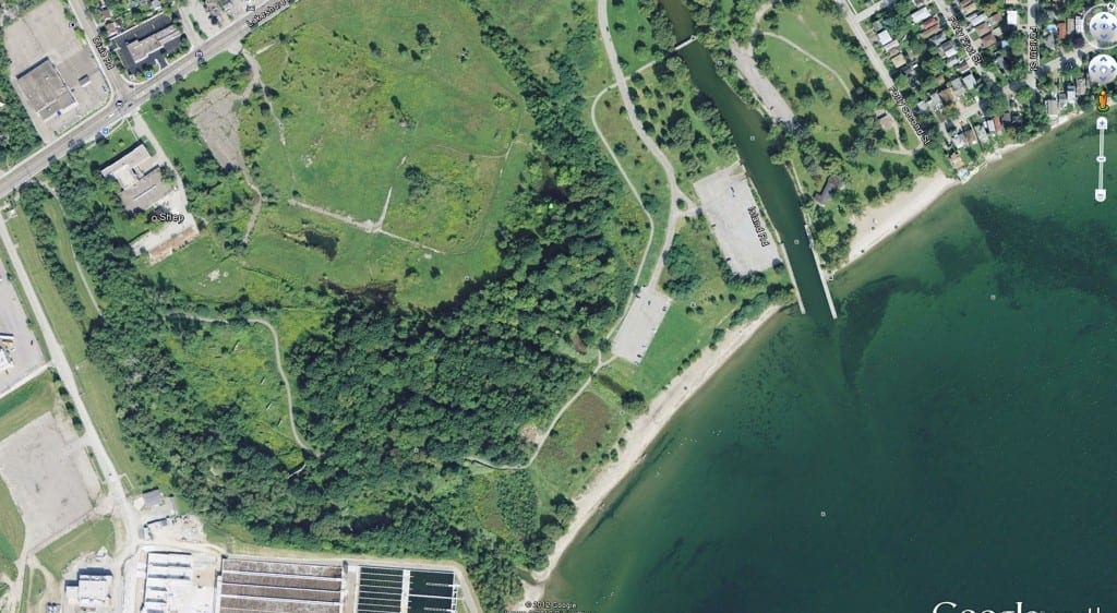
Here’s a quick view of Marie Curtis Park, before and after the creek was channelized
We’ve prepared a schematic map based on maps and aerial photos showing changes at Marie Curtis Park since the 1920s.
As well, Robert Lansdale has prepared images in Photoshop showing changes between the mid-1950s and 2012. If you click on either photo, you can get an enlarged view.
2
replies


I almost drowned in Oates Creek when I was 6 years old in 1937. I might be spelling it incorrectly but it was where there was a boat rental place on the south shore with a little dock for launching. I was saved by a fellow named Kelly who lived on our street Ivy Avenue (north of the tracks off Brown’s Line. We never called it Etobicoke Creek it was always the Oates River. I’m currently writing a book and need the correct spelling of Oats, Oates, Oat’s eg, eg. The kids used to ride their bikes through the park to the swimming hole. I can still remember these events as if it was yesterday. Regards, Ron Lehman.
I’m delighted that somebody was there to save you! I’ve heard of a number of close calls involving water, in that area. On other occasions, people did get drowned.
I will check on the spelling. A number of people I’ve interviewed in recent years have mentioned the boathouse that went by that name.