Where is the eastern boundary of Mimico?
*
Update of April 6, 2013:
The following map is from an April 4, 2013 City of Toronto Supplementary Report – Mimico-by-the-Lake Secondary Plan:
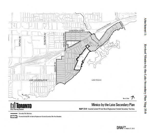
Map from April 4, 2013 City of Toronto Supplementary Report – Mimico-by-the-Lake Secondary Plan
The source document for the map can be found here:
Previous update: With regard to the question of where the eastern boundary of Mimico is located, I’ve received the following clarification from Ward 6 Councillor Mark Grimes’ office:
From a City of Toronto policy and planning perspective, the office notes, Mimico extends east to the Humber River.
The reasoning behind this, according to the Councillor’s office, is the necessity to maintain a balance between the demographic and density data:
“If we were to cut Humber Bay Shores out into its own neighbourhood it would skew the data and misrepresent the impacts these adjacent communities have on one another.”
With reference to historic boundaries, the Councillor’s office views the historic boundary as Fleeceline Road. This is close to where the eastern border of the Town of Mimico was located, as outlined in the following discussion.
The historic boundary is distinct from the boundary as defined for policy and planning purposes.
[End of updates]
Town of Mimico
According to the historic records of the Town of Mimico, Mimico in the past ended at a line midway between Fleeceline Road and Louisa Street.
City of Toronto neighbourhoods
The City of Toronto’s website of Toronto neighbourhoods includes a neighbourhood named Mimico. According to the map, the eastern boundary of Mimico extends to the Humber River.
Here’s the map, from the City of Toronto neighbourhoods webpage:

Dwight Avenue marks part of the western boundary
The western border of Mimico is at Dwight Avenue, at least until you travel north to the railway tracks.
Michael Harrison has a map of Mimico, showing the boundaries, at his Mimico history website. You can find the map at this link:
http://mimicohistory.blogspot.ca/2011/03/town-of-mimico-1930.html
I’ve listed the web address as a text rather than as a link, because if it’s posted as a link, it appears you can’t get back to the page you are now reading.
The above-noted map indicates that Victoria Avenue terminates at Mimico’s eastern border. Victoria Avenue is a dead-end street. Where it terminates gives a good indication of where the border is located – or at any rate was located in the Town of Mimico era.
The term Humber Bay Shores applies to the old Motel Strip, which is the area covered by the Secondary Plan, as I understand. The area east of old Mimico was called Etobicoke Township up to the Humber River where the City of Toronto began – again, as I understand.
Photos showing historic eastern border of the Town of Mimico
For each of the photos on this page, you can enlarge the photo by clicking on it. Click again to enlarge it further. Use the ‘Back’ button on your browser to return to the page you are now reading.

View from corner of Louisa Street and Lake Shore Blvd. West looking toward Park Lawn Road.

Louisa Street is in Mimico.

View from corner of Louisa Street and Lake Shore Blvd. West. The view terminates at Victoria Avenue, visible in the background.
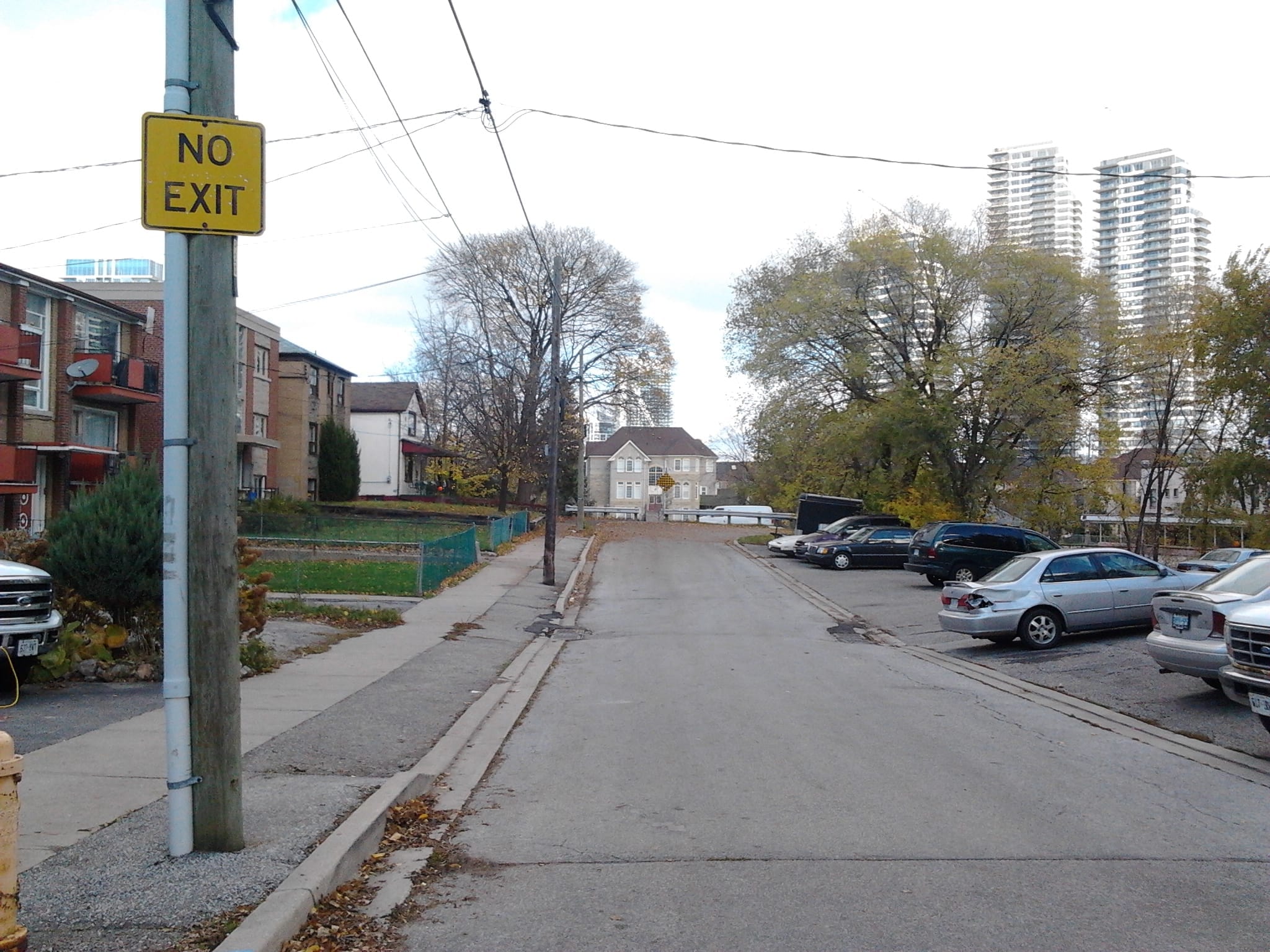
When you get to Victoria Avenue and look to the right, you will observe that it terminates as a dead-end street.
As you approach the end of Victoria Avenue, you see a barrier, a guard rail.
To my knowledge, this barrier is located at the eastern boundary of the former Town of Mimico.
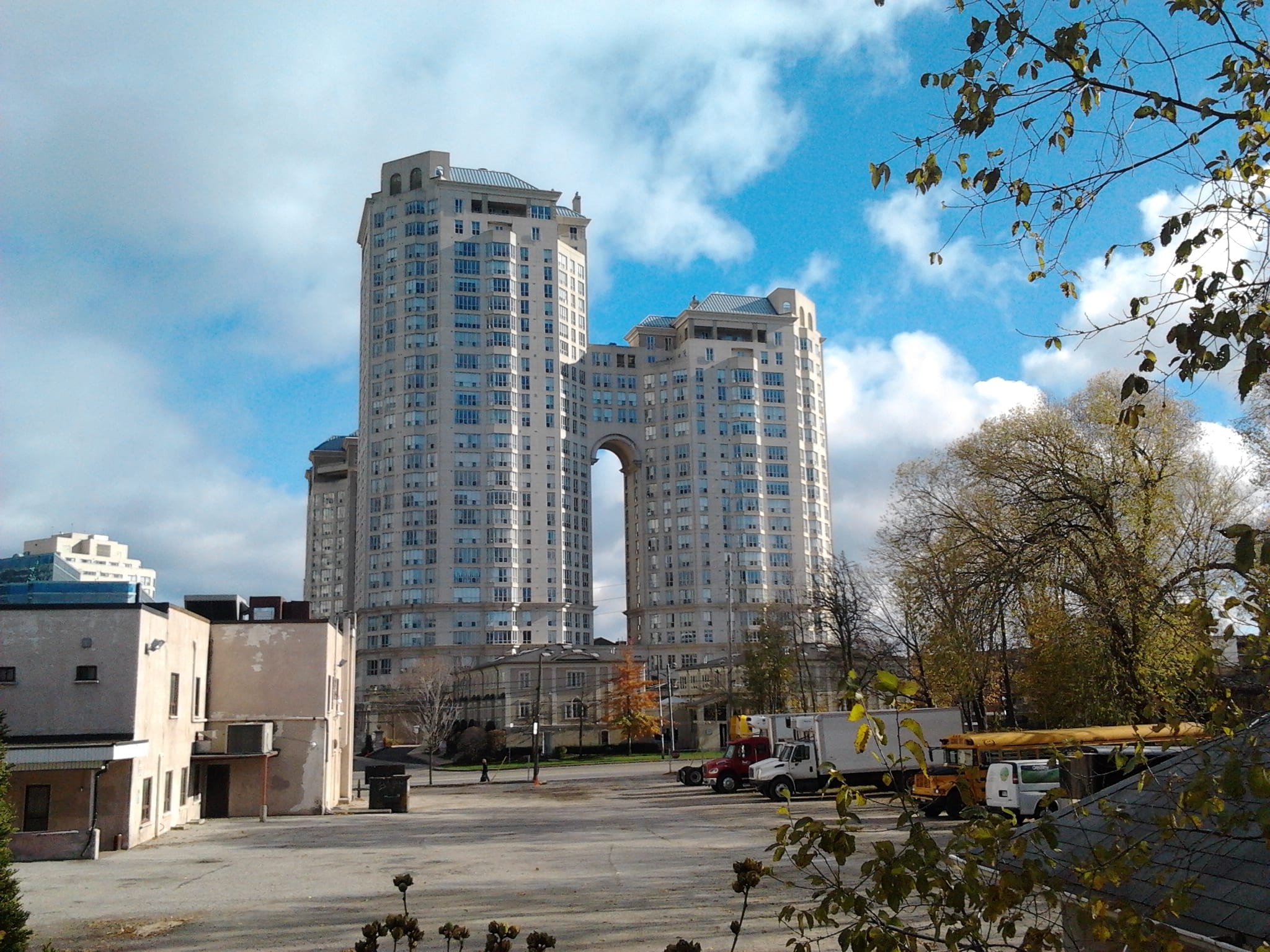
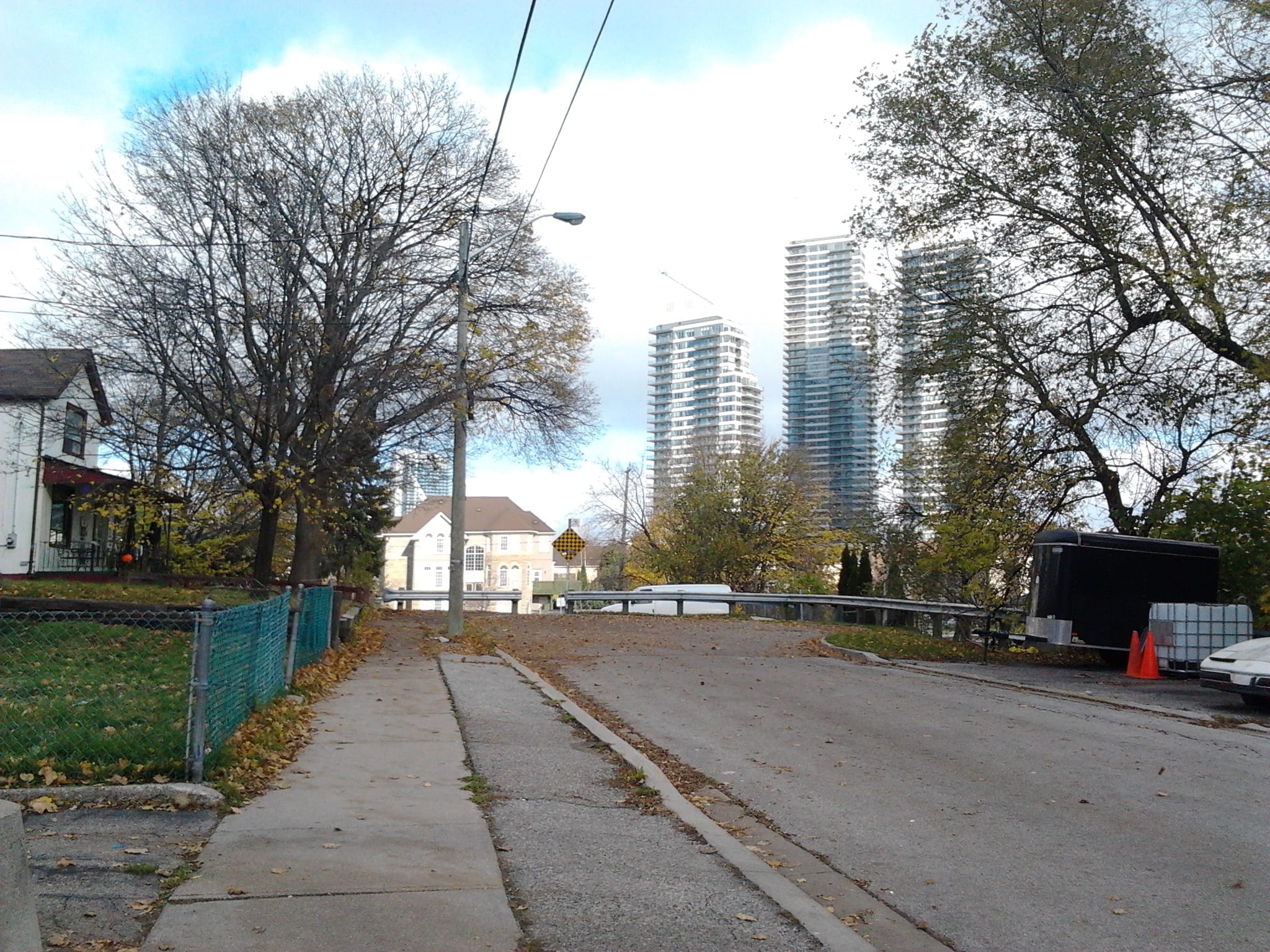
View toward Lake Ontario from the termination of Victoria Avenue. It’s my understanding that the Polish Alliance of Canada Building, 2282 Lake Shore Blvd. West, seen on the left, is located just east of the former Town of Mimico, as is the building at the centre. The building on the right is, I assume, within the boundaries of the historic Town of Mimico. Addendum: For planning purposes, all buildings in the photo would be considered to be in Mimico. The historic border in this area is now mainly of academic interest.
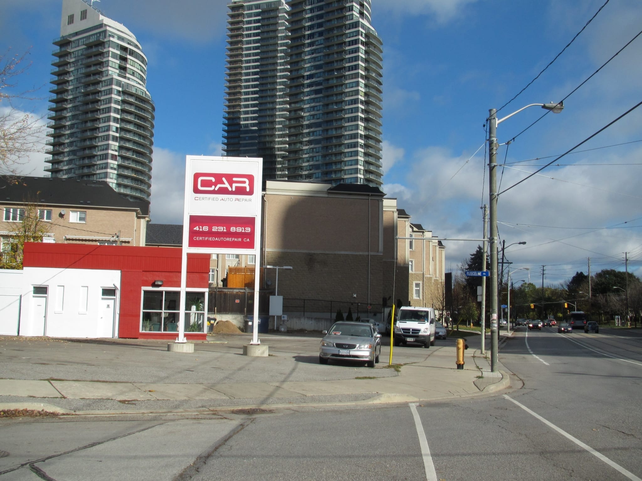
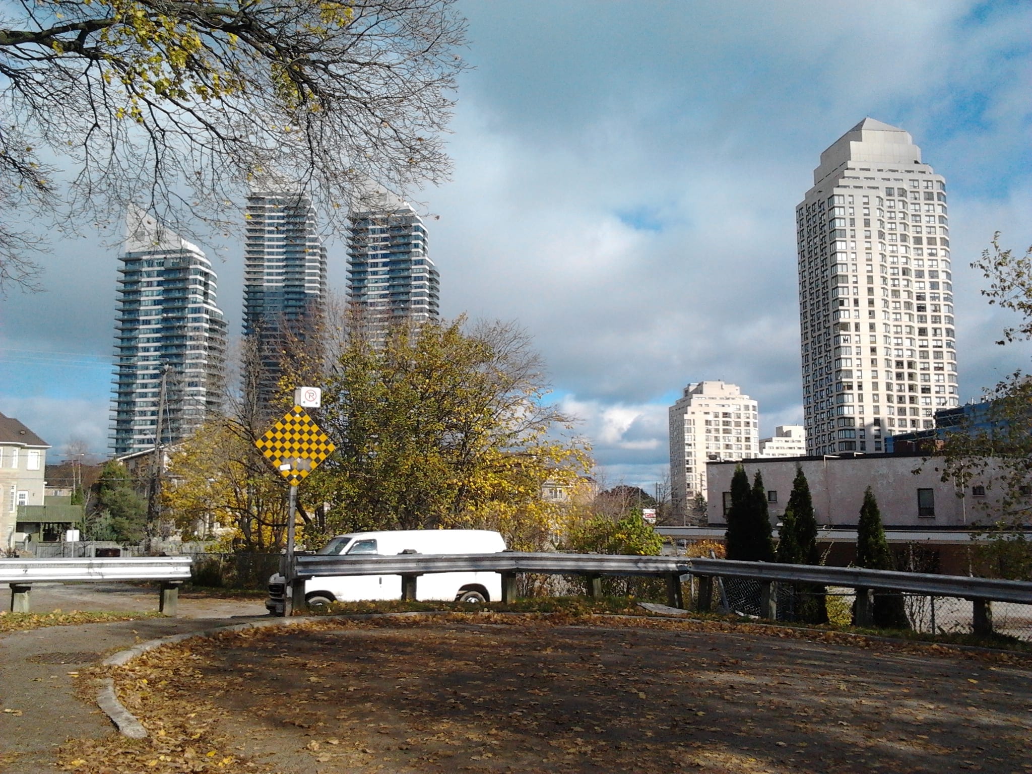
View toward Park Lawn Road from corner of Fleeceline Road and Lake Shore Blvd. West
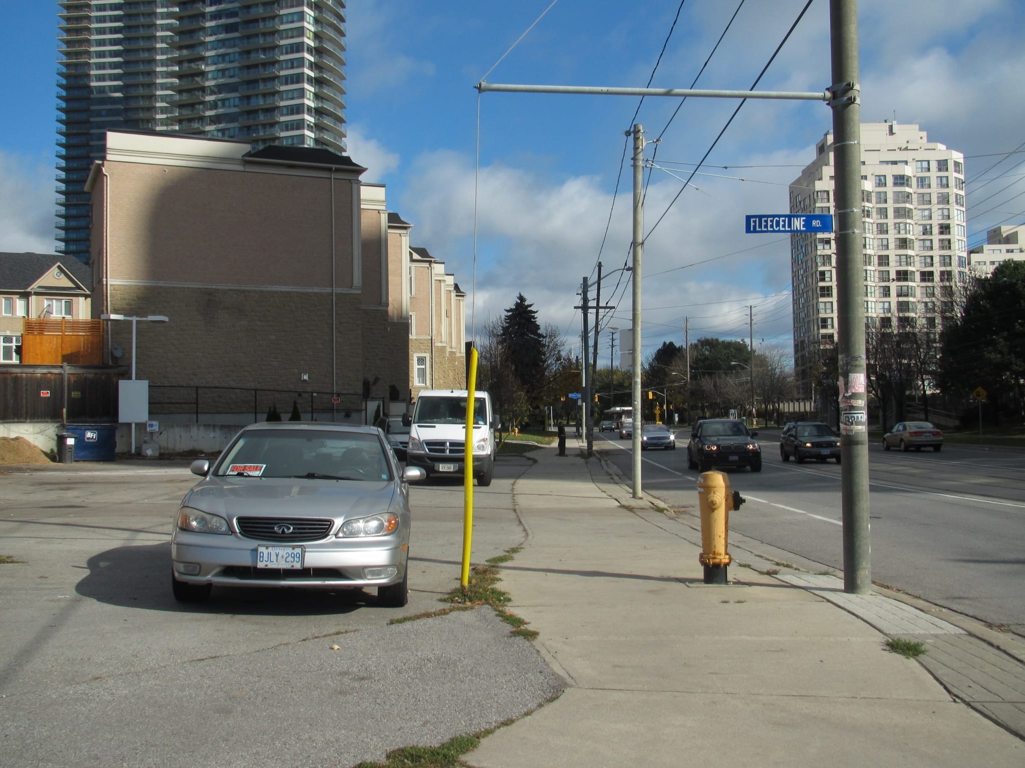
Medium shot of the same scene
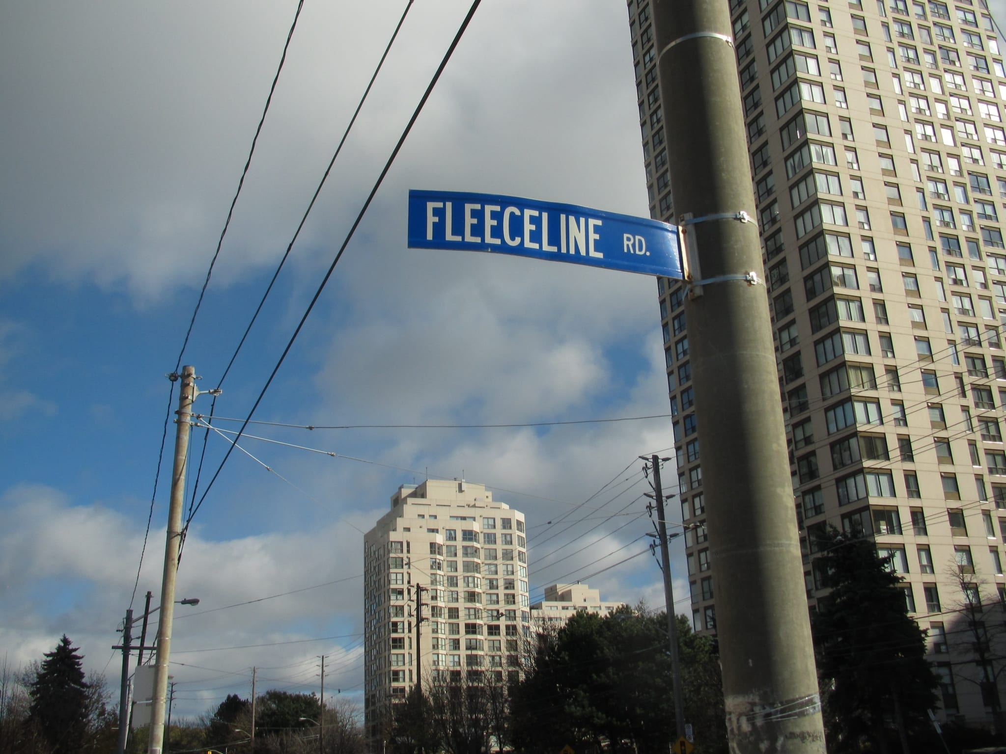
Fleeceline Road is in the area east of old Mimico.
Update: East of Mimico you encounter South Parkdale. The link at the previous sentence shares information about how the City of Toronto goes about developing neighbourhood boundaries.
Leave a Reply
Want to join the discussion?Feel free to contribute!
Hello there. I recently purchased 24 Louisa Street and am looking to find out more about the history of the building pictures from the past etc. Do you have any advice for me in this quest?
Hello Dave. The Toronto Archives, as I understand, can be a good place to start, for finding information. I will also send you an email with some names of people who can likely help you in your quest.