Gay Chisholm shares some great photos from the May 4, 2013 Long Branch Jane’s Walk
We have some great photos taken by Gay Chisholm from the May 4, 2013 Jane’s Walk to share with you. For a start, below are three of them.
For your interest, Gay Chisholm has a Facebook page, Living in Long Branch, which you can access here.
An earlier blog post refers to changes that have occurred over the years at the mouth of Etobicoke Creek. Another blog post includes a cartoon map showing the municipal boundary between Mississauga and Toronto south of Lakeshore Road East / Lake Shore Blvd. West.
As well, an update has been posted regarding plans regarding the sand beach at Marie Curtis Park between Etobicoke Creek and Applewood Creek.

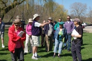
Walk participant shares a detail related to the history of the flood plain at the mouth of Etobicoke Creek. May 4, 2013 Long Branch Jane's Walk. Gay Chisholm photo

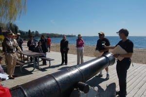
Mike James discusses history of cannon at Marie Curtis Park boardwalk. Jaan Pill records his comments. Gay Chisholm photo

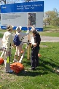
Walk attendees use handy construction map at Forty Second Street and Lake Promenade to delineate the Mississauga-Toronto municipal boundary south of Lakeshore Road East / Lake Shore Blvd. West. Gay Chisholm photo
Loose cannons
The reference to the cannon (see bottom photo on the left) at Marie Curtis Park brings to mind the delightful metaphor of the “loose cannon” – as, by way of example, in a New Yorker article that refers to detectives who make up their own rules of evidence.

Leave a Reply
Want to join the discussion?Feel free to contribute!