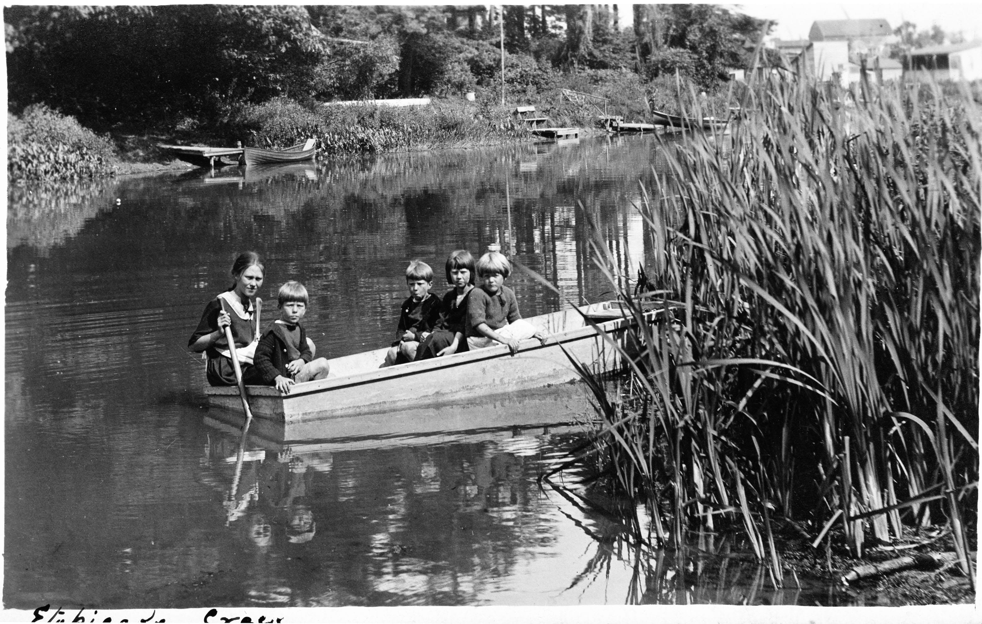
Barn in background of 1920s Long Branch photo appears to be located on the Smith homestead

(Photo credit: Doris Durance. © Durance family and Robert Lansdale.)
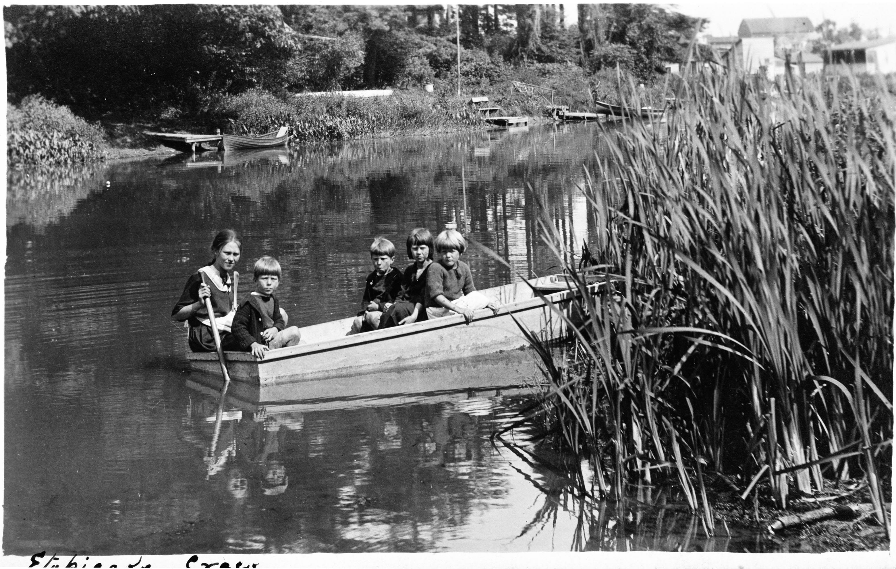
Left to right in photo above: Connie Durance, Cyril Durance, George Durance, Rene Durance, and Florence Morrel. We owe thanks to Barbara Durance for sharing this photo, taken about 1925, with us. The image we have posted is from a 3-inch wide, highly faded photo from the 1920s. Robert Lansdale has done extensive work on the image using Photoshop.
You can click, and double click, on this photo to enlarge the image. If you click ‘Back’ at the top of your browser, you should be able to get back to the page you are viewing right now as you read this sentence.
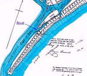
The map on the left shows approximately where the photo was taken. The map is from the 1920 Subdivision Plan for the waterfront and mouth of Etobicoke Creek. If you click on the map, you can enlarge it slightly. Click ‘Back’ on your browser to get back to the page you are viewing now.
(Photo credit: Ontario Department of Planning and Development – Conservation Branch – Etobicoke Valley Report, 1947.)
Robert Lansdale has indicated on the map the direction in which the camera was pointed. In an email message to Jaan Pill on February 29, 2012, he’s added the following information:
“Based on the newest 1920 land survey map which had been provided to me a week ago, I thought I’d make up this quick map for you. It shows my assumed location of where the Durance boat picture was made around 1925 and the direction of shooting.
“It appears there was an inlet in the 1920s and that should correspond to the bullrushes you see in the photo on the right side. The arrow points directly to the Samuel Smith barn.”
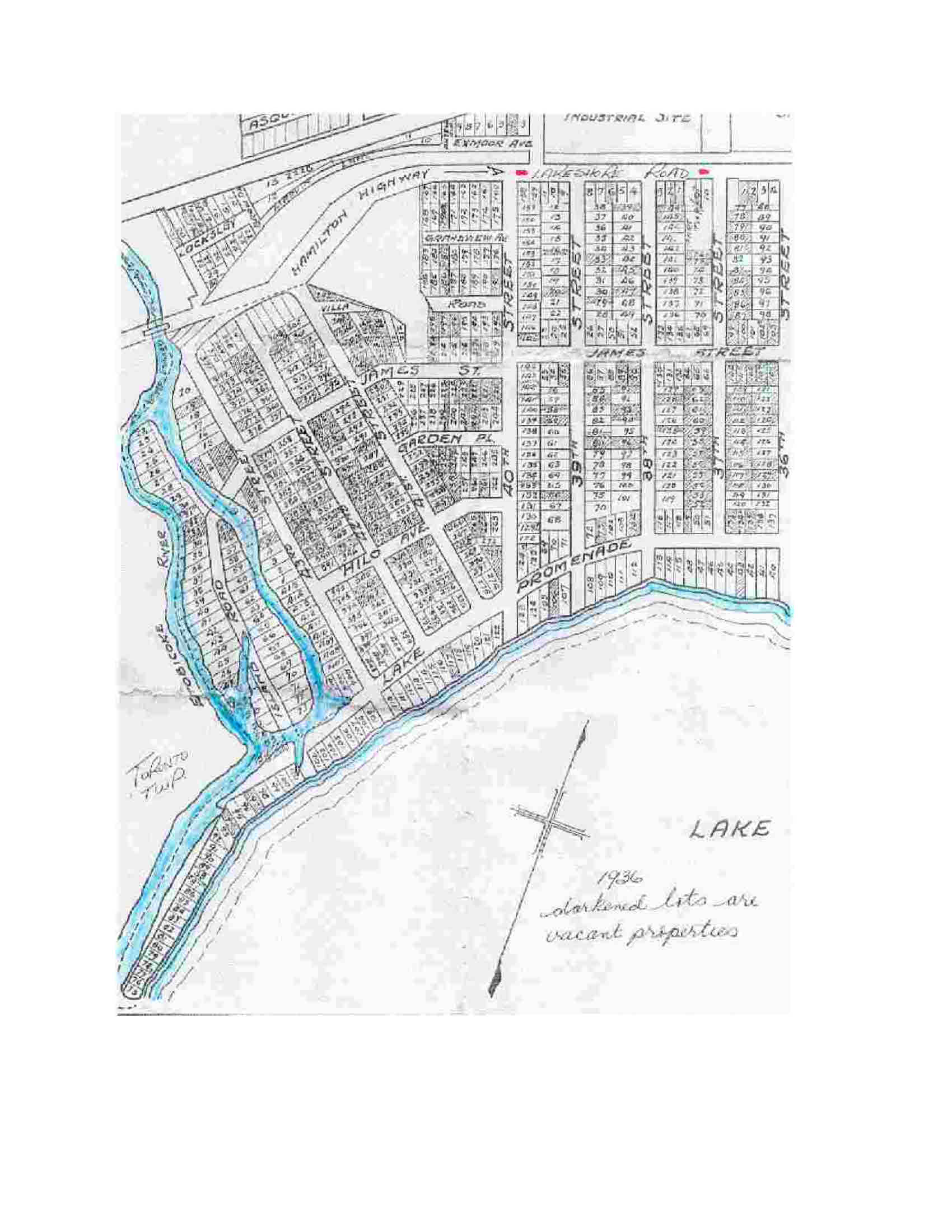
The map at the top of this page is a detail from a larger map from the 1920 Subdivision Plan for the waterfront and mouth of Etobicoke Creek. The map below is a 1936 map based on the 1920 Subdivision Plan. A notation on the map indicates that “darkened lots are vacant properties.”
The empty triangular area toward the top of the map is where the Colonel Samuel Smith homestead was located. Directly north of that plot of land is the Hamilton Highway, which is now known Lake Shore Blvd. West on the Toronto side of the border, and as Lakeshore Road East on the Mississauga side. Going east from near Fortieth Street in Long Branch, it was in those years known as Lakeshore Road.
If we imagine that the red line, indicated in the map at the top of the page, were to be extended across the map, it would arrive at the right-hand portion of the triangular piece of land where the Colonel Samuel Smith homestead was located.
A related blog post will show an aerial photography from the early 1950s, on which Robert Lansdale has dawn a line extending from the position of the boat in the 1920s photo to buildings on the Smith homestead.
The blog post will as well show medium-range and closeup photos of buildings on the Smith property.
The 1936 map (below) shows the configuration of Etobicoke Creek before the western branch was filled in and before the eastern branch was ‘channelized.’ We owe thanks to Ruth Grier for sharing this map with us. She used the map for a Jane’s Walk that she led in Long Branch in 2010.
The map also shows Forty Third Street, which no longer exists in its former location. If you happen to be standing at the bottom of James Street at Forty Second Street, and look toward Etobicoke Creek, you’ll see an indentation in the ground, the width of a road. That indentation indicates where James Street continued from Forty Second Street to Forty Third Street, before Marie Curtis Park was created.
As well, the map indicates that Lake Promenade extended a significant distance west beyond its current location. We’ve posted this jpeg image at maximum size. For that reason, if you click on the image you will not be able to enlarge it.


Leave a Reply
Want to join the discussion?Feel free to contribute!