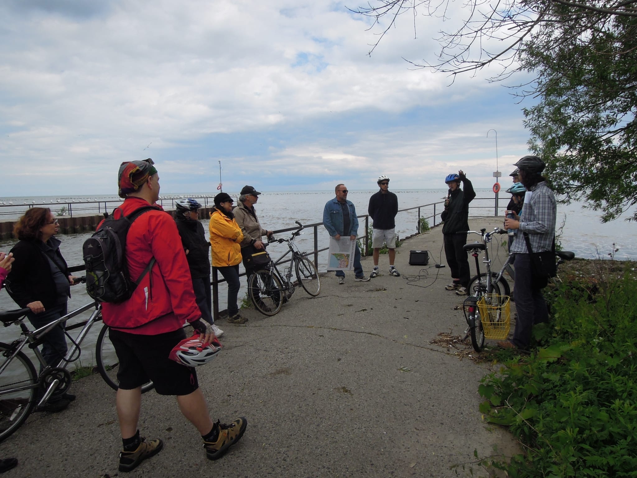
On June 9, 2012, David Juliusson, Program Officer at Fort York, will lead the annual Tour de Forts bike ride
Cycling is a fun, healthy, and eco-friendly way to view Toronto’s early history.
On Saturday, June 9, 2012, David Juliusson, Program Officer at Fort York, will lead the annual Tour de Forts ride, now part of the new Heritage Rides series of bike tours in and around Toronto.
Here are the details for the tour, which will take about two hours:
“Meeting at 1:00 pm on the multi-use trail under the Old Mill subway station, we will begin by riding to Teiagon, the site of the Seventeenth-century Seneca Village. Following the Humber River trails, we will stop and explore the sites of Toronto’s first two forts.
“Continuing along the Martin Goodman Trail, we’ll arrive at the site of Fort Rouille, the last French fort. Participants can proceed to Fort York for a free tour at the conclusion of the ride.”
Links:
http://wx.toronto.ca/festevents.nsf/RSSAllCurrent/FDD4F9C2858EC27E852579E90011ACB6
http://www.bikeevents.to/event/tour-de-forts-ride-sites-early-french-history-toronto
A June 2, 2012 Heritage Ride included a visit to Marie Curtis Park at the southwest corner of Long Branch. The photo shows the mouth of Etobicoke Creek. The current channelized version is the result of the straightening out of what used to be the eastern branch of the creek. In order to create an opening for the new version, a channel was cut into a spit of land that used to be positioned where the creek now flows into Lake Ontario.
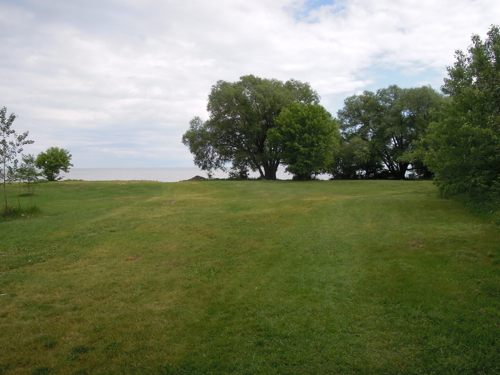
The June 2, 2012 Heritage Ride also included a visit, at Marie Curtis Park, to a point close to the current Mississauga-Toronto border. Formerly, before the western branch of Etobicoke Creek was filled in, the creek used to exit at a point near where Applewood Creek now flows into Lake Ontario. The current border is based on where the western branch of the creek used to run, before that part was filled in, and before the eastern branch of it was channelized. What is now a grassy area visible on the left of the photo is where a spit of land used to run along the shoreline, on which many cottages were located. On the right side of the grassy area in this photo is where water from the eastern and western branches of the creek used to run on its way to Lake Ontario.
Leave a Reply
Want to join the discussion?Feel free to contribute!