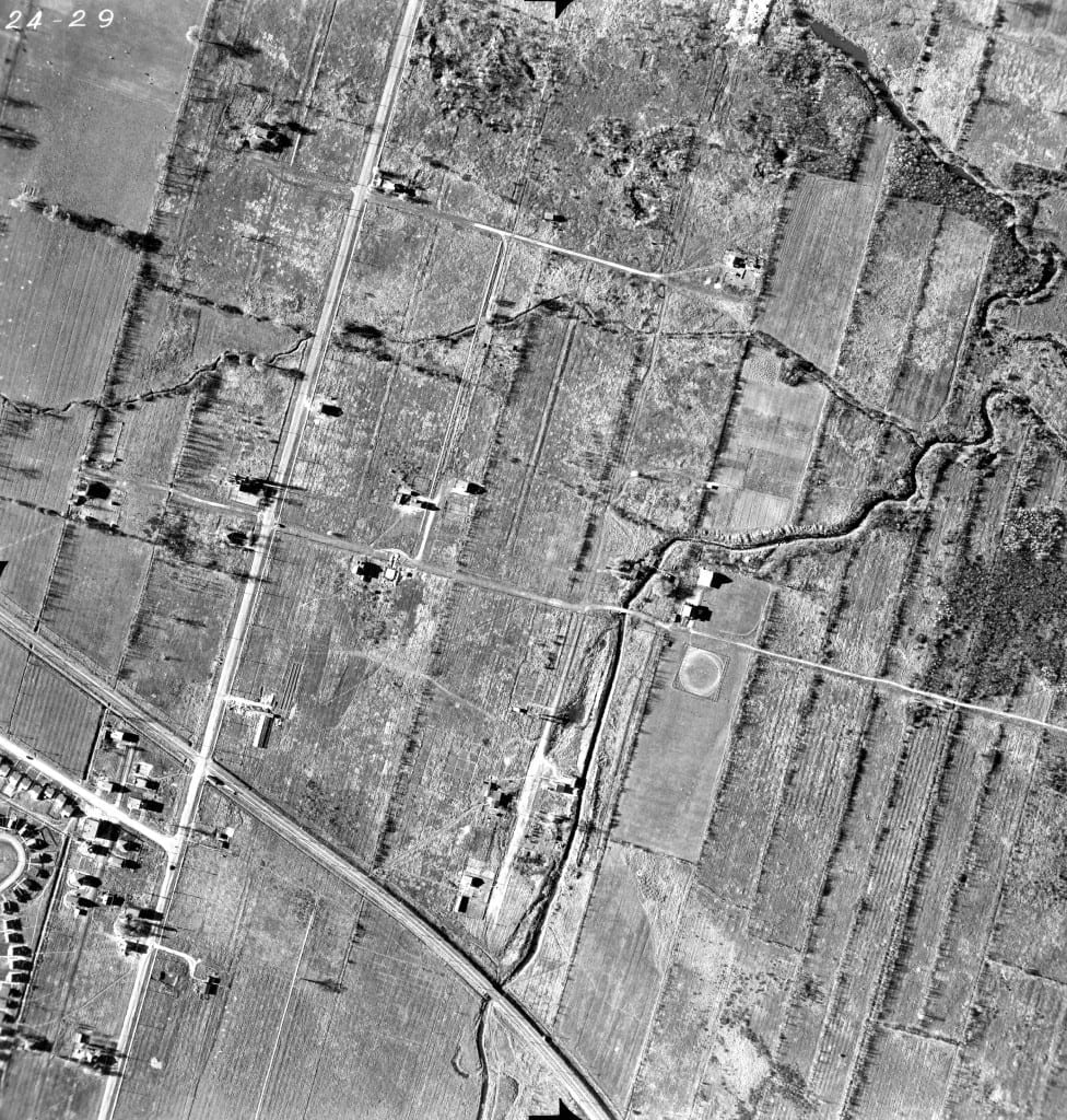
Archival aerial photo of Raimbault Creek (now a lost creek) in Cartierville – Many thanks to Peter Halliday

This is an archival document that Peter Halliday has forwarded to us. The identifying data includes this file number: VM97-3_7P24-29.
I was delighted to view an archival aerial photo that Peter Halliday has let us know about, in a comment at a previous post about Raimbault Creek in Cartierville.
One of the delightful features of the creek was that, at least in some sections, it was left free to meander, as contrasted to being channelized.
If you have information about what streets are depicted in the photo, please let us know. If you – that is, if you as a site visitor – can create a hand drawn map showing the street names, and send it to us as a relatively high-resolution jpeg file, that would be great.
Click on the photo to enlarge it. Click again to enlarge it further.
I have posted the photo above. Peter Halliday has also provided a link about lost creeks in Montreal, where streams in the area are also featured. I haven’t yet had time to open that link, but you may wish to check that out as well. My focus at the moment is on writing a blog for the Jane’s Walk website about the recent Jane’s Walk (May 3 and 4, 2014) that Mike James and I organized in Long Branch (Toronto not New Jersey), where I’ve lived for the past 20 years.

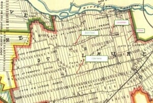
1907 map, which includes an image of Raimbault Creek as it existed at the time. The early map, Tim Hewlings (MCHS '63) notes, is from: A. R. Pinsoneault, Atlas of the Island and city of Montreal and Ile Bizard, s. l., The Atlas Publishing Co., vers 1907 found on the BANQ website.
We’re looking forward to a great MCHS reunion! We’re delighted with the number of messages that we’ve received, from MCHS graduates from across North America, who are keen to attend.
November 1949 aerial photograph from Long Branch (Toronto not New Jersey)
I am pleased to add that a 1949 aerial photograph depicting the corner of Long Branch (in Toronto) where I now live has generated much discussion at this website in the past few years. The Parkview School story – which dates from October 26, 2010, when I visited the website of the Toronto District School Board, and is directly related to the Colonel Samuel Smith homestead – is, in fact, how I came to develop an interest in local history and in the concept of heritage preservation.
That’s aside from my interest in the preservation of family stories – the latter concept occurred to me still earlier, after I retired from teaching in 2006. I’ve always been interested in family and community stories and it occurred to me that some of those stories would be lost forever, unless a person makes an effort to preserve them in some form for the enjoyment of future generations.
Lost creeks of Toronto
As I’ve noted in a previous post, the topic of lost streams is also of much interest to residents of Toronto.

The road and the railway that can be seen on the picture are O’Brian Boulevard and a CN railway for the Deux-Montagne line to be more precise. Sadly i can’t send any picture here lol.
I’m really pleased Peter Halliday shared the aerial photo with us. I still remember the creek which now runs underground. Played there many times with my friends. Trees and bush all over the place. Some of the trees had vines so that you could swing on the vines.
I remember one winter in my childhood the creek was frozen over but there wasn’t a lot of snow at the time. So this one time the ice was solid and free of snow. We could skate a long, long way – it was truly an enjoyable experience. Years ago during my childhood years.